From:
ScriptAlias /cgi-bin/ "C:/xampp/cgi-bin/"
To:
ScriptAlias /cgi-bin/ "c:/OSGeo4W64/apps/qgis/bin/"
From:
<Directory "C:/xampp/cgi-bin"> AllowOverride None Options None Require all granted </Directory>
To:
<Directory "c:/OSGeo4W64/apps/qgis/bin"> SetHandler cgi-script AllowOverride None Options ExecCGI Order allow,deny Allow from all Require all granted </Directory>
From:
AddHandler cgi-script .cgi .pl .asp
To:
AddHandler cgi-script .cgi .pl .asp .exe
SetEnv GDAL_DATA "C:\OSGeo4W64\share\gdal" SetEnv QGIS_AUTH_DB_DIR_PATH "C:\OSGeo4W64\apps\qgis\resources" SetEnv PYTHONHOME "C:\OSGeo4W64\apps\Python37" SetEnv PATH "C:\OSGeo4W64\bin;C:\OSGeo4W64\apps\qgis\bin;C:\OSGeo4W64\apps\Qt5\bin;C:\WINDOWS\system32;C:\WINDOWS; C:\WINDOWS\System32\Wbem" SetEnv QGIS_PREFIX_PATH "C:\OSGeo4W64\apps\qgis" SetEnv QT_PLUGIN_PATH "C:\OSGeo4W64\apps\qgis\qtplugins;C:\OSGeo4W64\apps\Qt5\plugins"
http://localhost/cgi-bin/qgis_mapserv.fcgi.exe?SERVICE=WMS&VERSION=1.3.0&REQUEST=GetCapabilities

(C:\OSGeo4W64\apps\qgis\bin) 
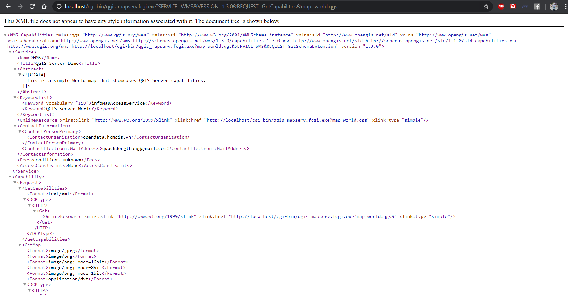
http://localhost/cgi-bin/qgis_mapserv.fcgi.exe?SERVICE=WMS&VERSION=1.3.0&REQUEST=GetCapabilities&map=world.qgs
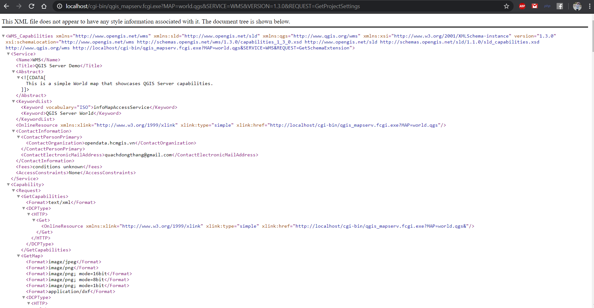
http://localhost/cgi-bin/qgis_mapserv.fcgi.exe?MAP=world.qgs&SERVICE=WMS&VERSION=1.3.0&REQUEST=GetProjectSettings
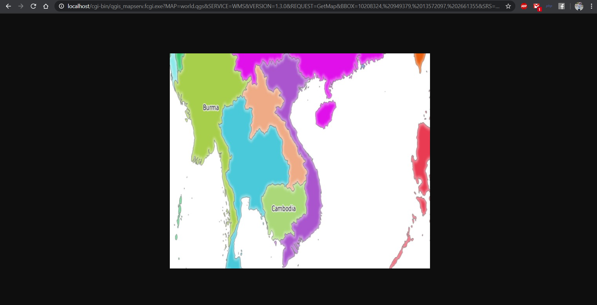
http://localhost/cgi-bin/qgis_mapserv.fcgi.exe?MAP=world.qgs&SERVICE=WMS&VERSION=1.3.0&REQUEST=GetMap&BBOX=10208324, 949379, 13572097, 2661355&SRS=EPSG:3857&WIDTH=665&HEIGHT=551&LAYERS=countries&FORMAT=image/jpeg
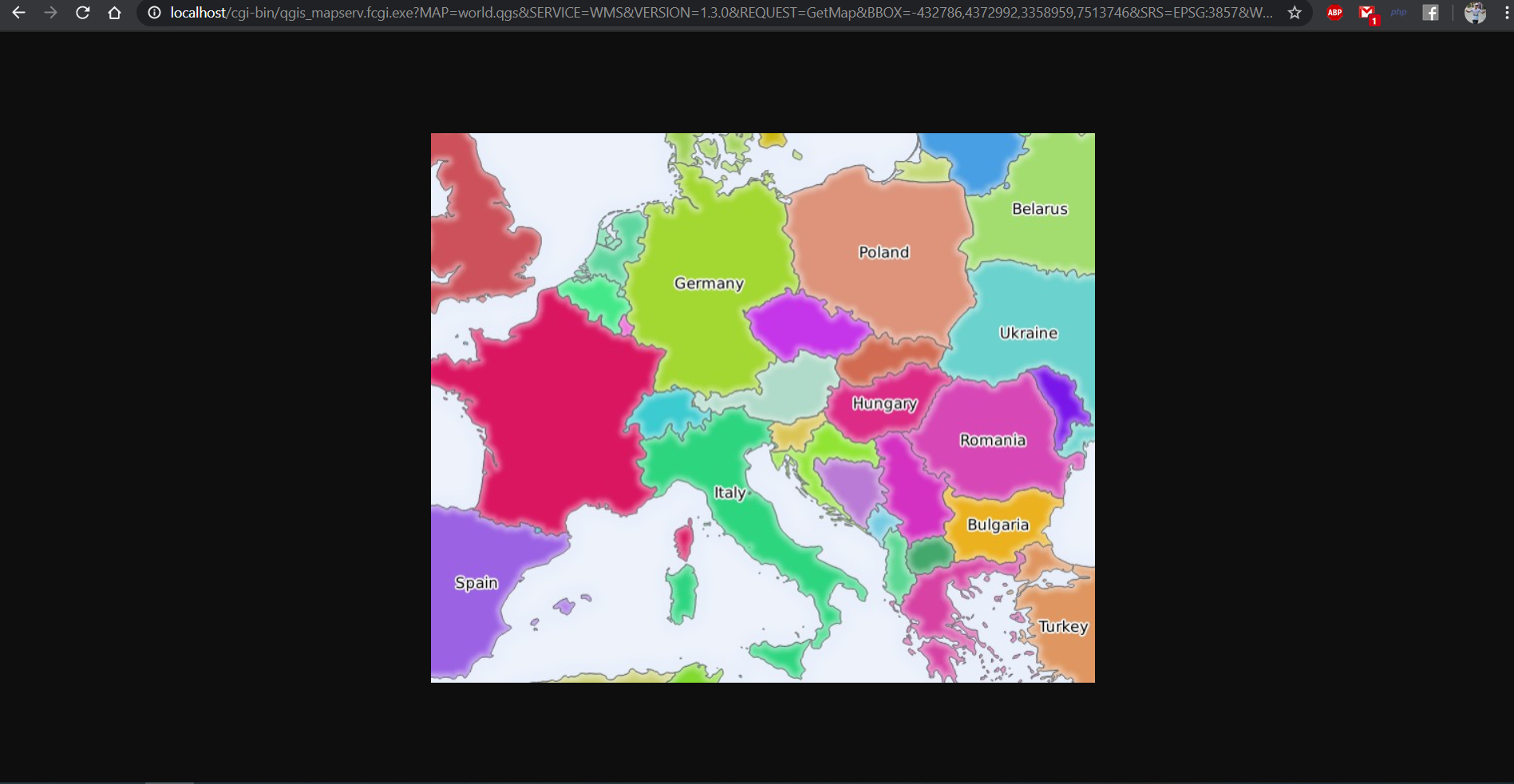
http://localhost/cgi-bin/qgis_mapserv.fcgi.exe?MAP=world.qgs&SERVICE=WMS&VERSION=1.3.0&REQUEST=GetMap&BBOX=-432786,4372992,3358959,7513746&SRS=EPSG:3857&WIDTH=665&HEIGHT=551&FORMAT=image/jpeg&LAYERS=countries,countries_shapeburst&STYLES=classified_by_name,blue&OPACITIES=255,30&FILTER=”countries:\”name\” IN ('Germany','Italy')”
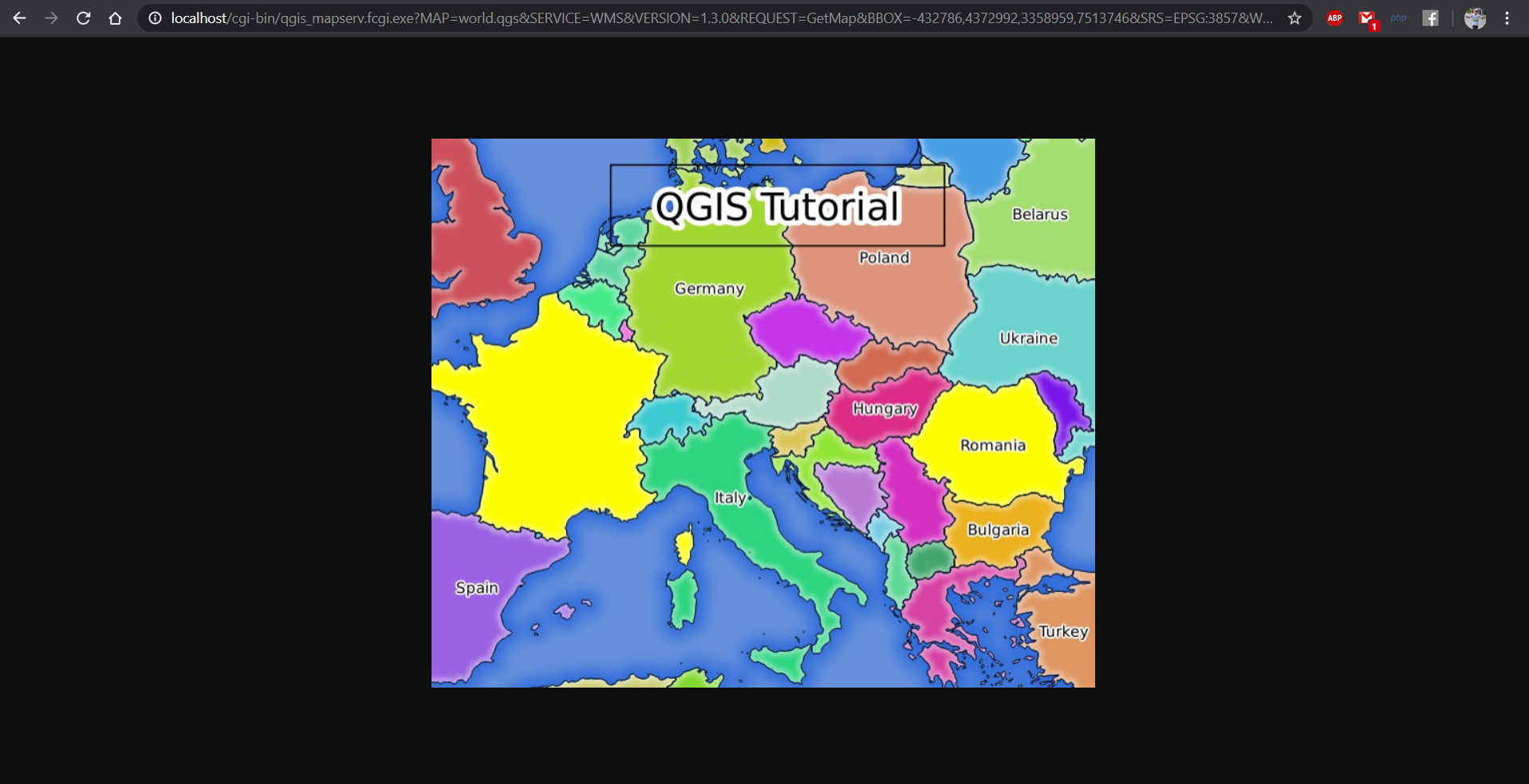
http://localhost/cgi-bin/qgis_mapserv.fcgi.exe?MAP=world.qgs&SERVICE=WMS&VERSION=1.3.0&REQUEST=GetMap&BBOX=-432786,4372992,3358959,7513746&SRS=EPSG:3857&WIDTH=665&HEIGHT=551&LAYERS=countries,countries_shapeburst&FORMAT=image/jpeg&HIGHLIGHT_GEOM=POLYGON((590000 6900000, 590000 7363000, 2500000 7363000, 2500000 6900000, 590000 6900000))&HIGHLIGHT_SYMBOL=<StyledLayerDescriptor><UserStyle><Name>Highlight</Name><FeatureTypeStyle><Rule><Name>Symbol</Name><LineSymbolizer><Stroke><SvgParameter ame="stroke">%233a093a</SvgParameter><SvgParameter name="stroke-opacity">1</SvgParameter><SvgParameter name="stroke-width">1.6</SvgParameter></Stroke></LineSymbolizer></Rule></FeatureTypeStyle></UserStyle></StyledLayerDescriptor>&HIGHLIGHT_LABELSTRING=QGIS Tutorial&HIGHLIGHT_LABELSIZE=30&HIGHLIGHT_LABELCOLOR=%23000000&HIGHLIGHT_LABELBUFFERCOLOR=%23FFFFFF&HIGHLIGHT_LABELBUFFERSIZE=3&SELECTION=countries:171,65
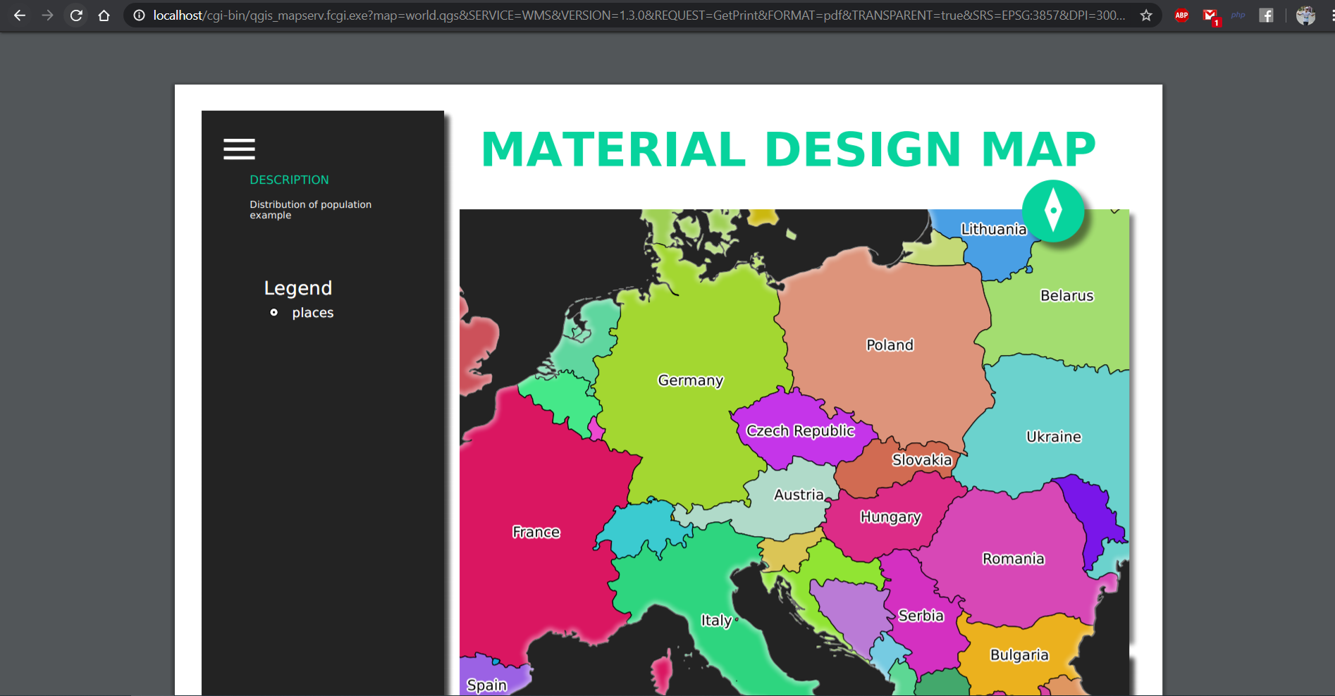
http://localhost/cgi-bin/qgis_mapserv.fcgi.exe?map=world.qgs&SERVICE=WMS&VERSION=1.3.0&REQUEST=GetPrint&FORMAT=pdf&TRANSPARENT=true&SRS=EPSG:3857&DPI=300&TEMPLATE=Population distribution&map0:extent=-2786,4372992,3358959,7513746&LAYERS=countries
http://localhost/cgi-bin/qgis_mapserv.fcgi.exe?SERVICE=WFS&VERSION=1.1.0&REQUEST=GetFeature&TYPENAME=countries&map=world.qgs 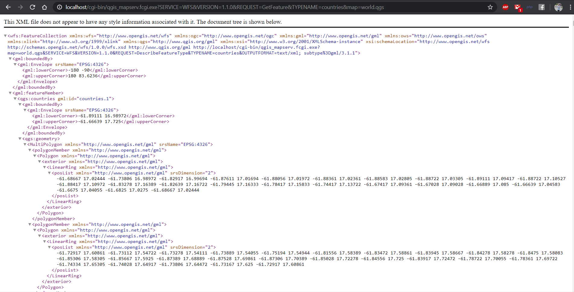
http://localhost/cgi-bin/qgis_mapserv.fcgi.exe?SERVICE=WMTS&REQUEST=GetTile&MAP=world.qgs&LAYER=countries&FORMAT=image/png&TILEMATRIXSET=EPSG:3857&TileMatrix=0&TILEROW=0&TILECOL=0 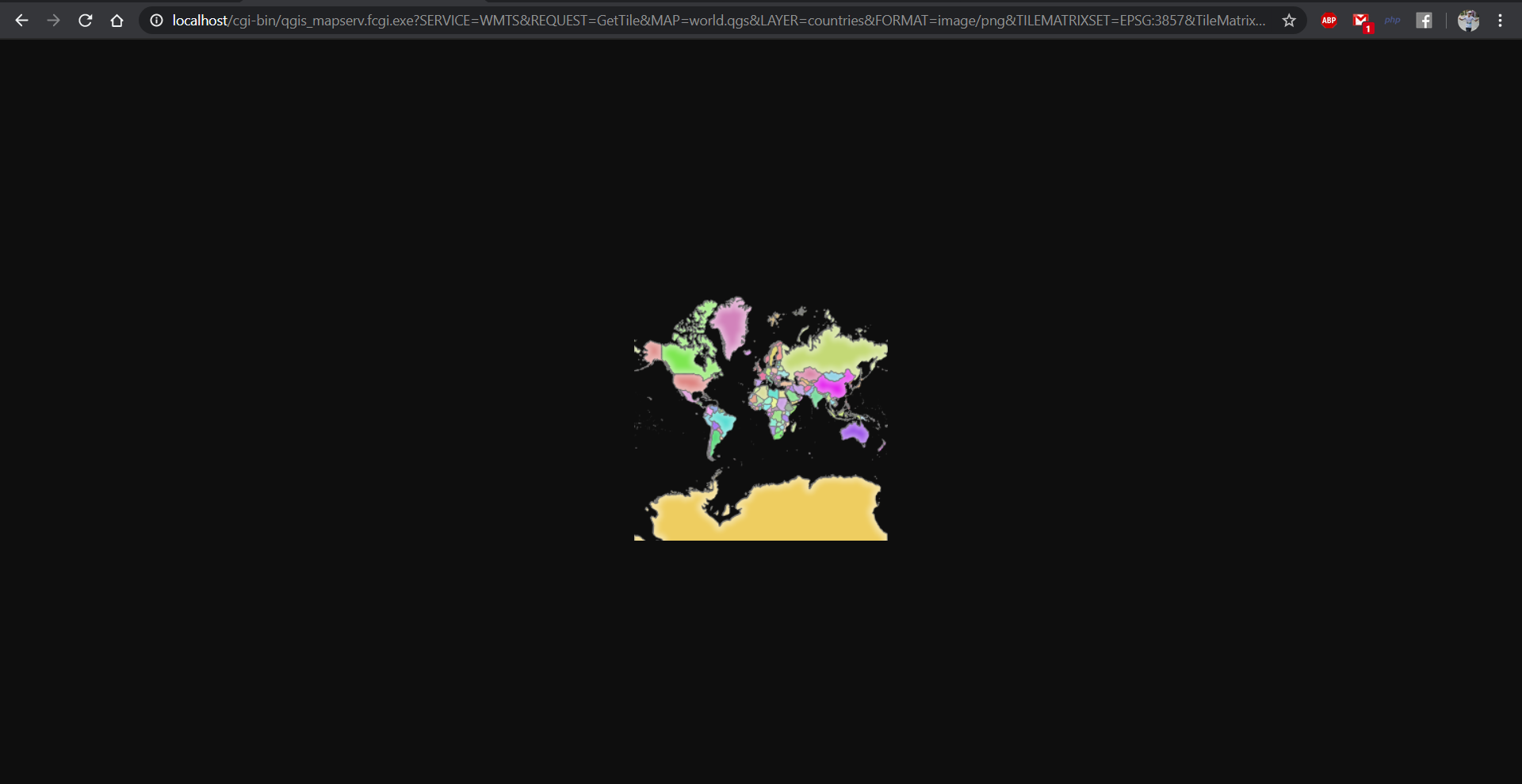
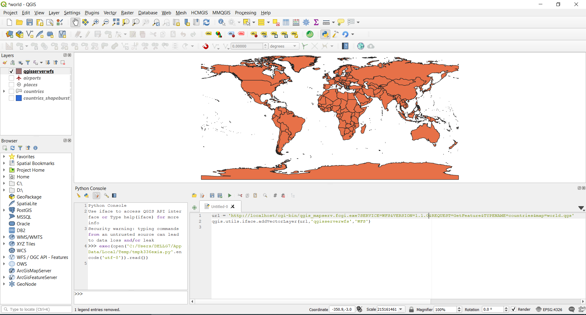
url = 'http://localhost/cgi-bin/qgis_mapserv.fcgi.exe?SERVICE=WFS&VERSION=1.1.0&REQUEST=GetFeature&TYPENAME=countries&map=world.qgs'
qgis.utils.iface.addVectorLayer(url,'qgisserverwfs','WFS')